For the first time in nearly five decades I went for a bike ride ~ in fantastic weather to Big Tancook Island. Well actually no cycling was done to the island itself, that required a 50-minute ferry ride from Chester on the “William G. Ernst” with a brief stop at Little Tancook Island.
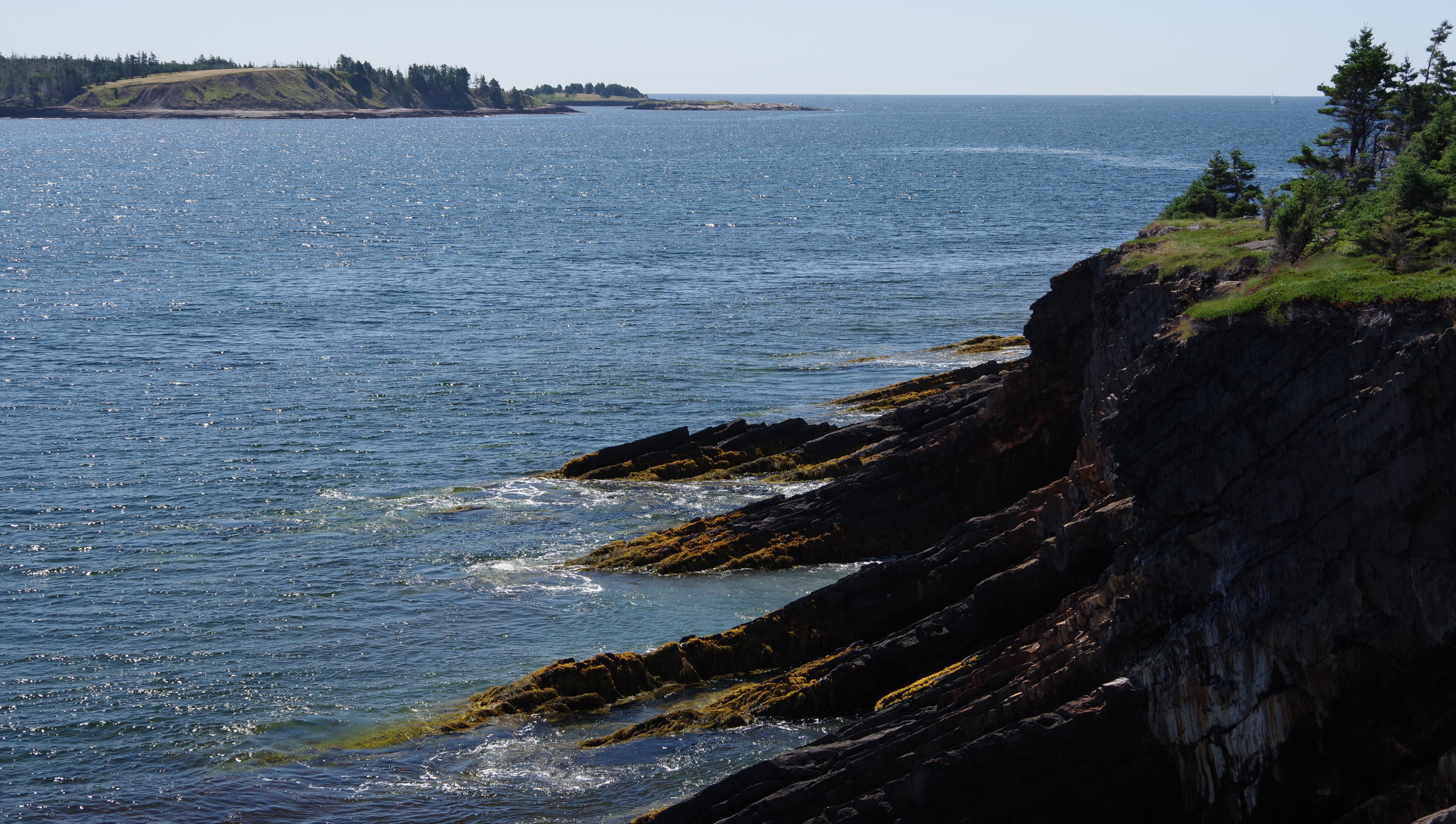
Big Tancook Island is the largest of many islands in Mahone
Bay. It measures approximately 4 km (2.5 mi) (north to south) by 1.6 km (1.0
mi) forming roughly a "C" shape. Its area is 550 acres (2.2 sq km) with
rocky shorelines, open fields, softwood forests dotted by ponds, residential
properties and fish stores. It is separated from nearby Little Tancook Island
to the east by a 1 km (0.6 mi) wide strait called "The Chops".
The island was once a summer fishing ground for Indigenous
peoples. The word "Tancook" is an anglicized Mi'kmaq term that
translates into "facing the open sea." Originally settled by German
and French families in the late eighteenth century – today the island is home
to around 120 full-time residents with the population doubling during the
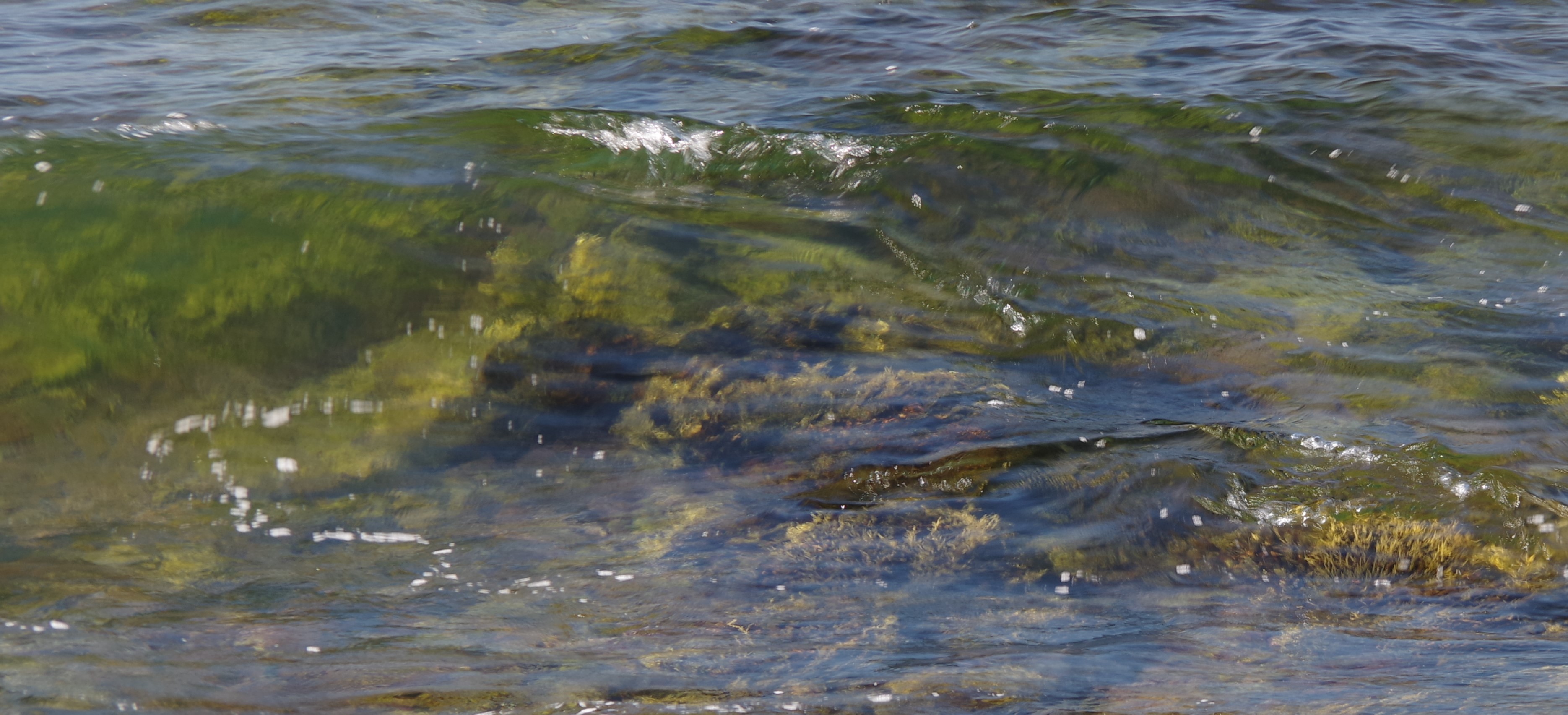
summer season. It is the perfect place to hike, bike or stroll beaches
in search of shells and sea glass.
The roads for cycling are truly awful, with nothing but loose gravel complimented with dozens or perhaps more accurately hundreds of potholes. The cars on the island do not require to be registered and therefore have no need for license plates, and I would assume also no insurance. Interestingly I noticed on a few occasions while biking along, it was easy to know that a local was approaching from the rear ~ because in most cases the muffler was blown giving out a rather loud warning ….
Today’s pics ~


Leaving Chester and sailing across Mahone Bay ...


Arriving for a brief stop at Little Tancook to drop off supplies ...


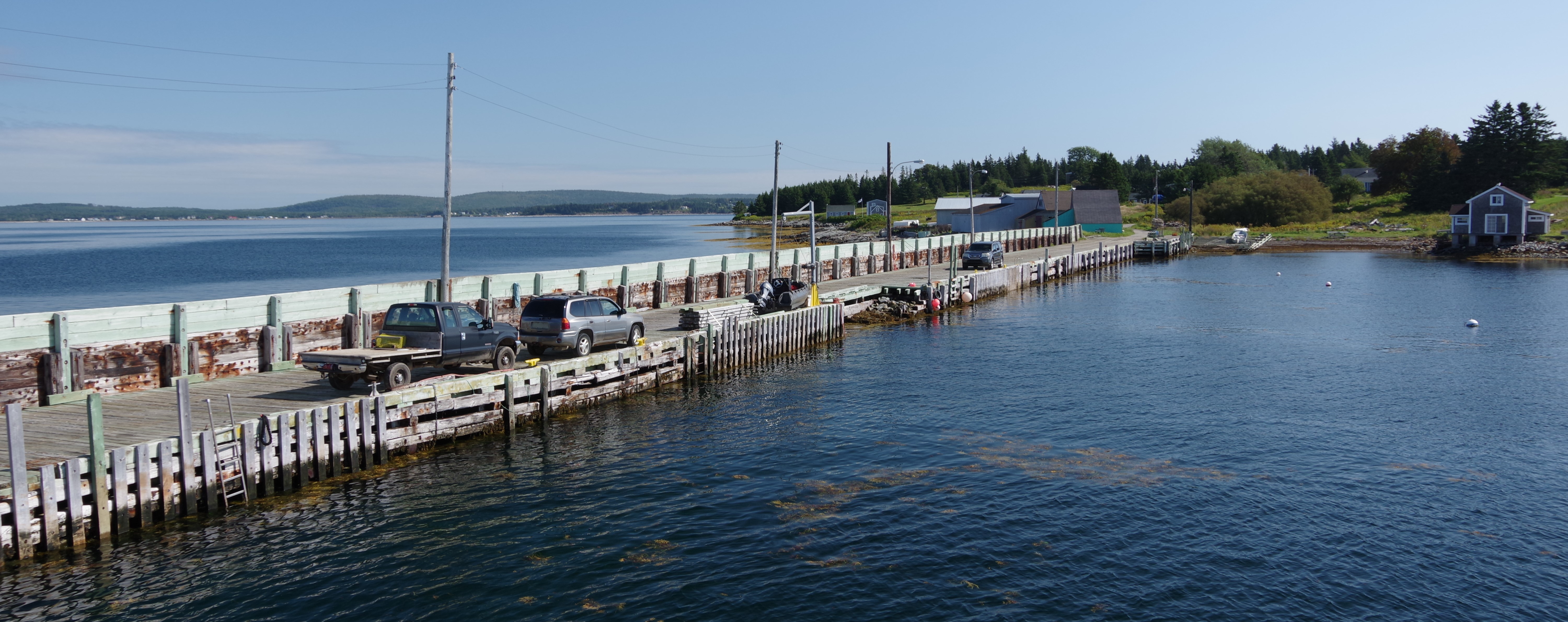
Arriving at Big Tancook and the island tour ...


 |
| Little Tancook viewed from Big Tancook |


 |
| The island's emergency vehicles |

 |
| The school which has four students |

 |
| The dark blue vessel is the ferry “William G. Ernst” |


Leaving the island and across a cloudy Mahone Bay to Chester ~


 |
| Unloading empty crates, a trailer and a bike |